
November 5 & 6
Back in the 1600 & 1700s, explorers and pirates would leave Europe to head to the new world, but they wouldn’t go straight across the Atlantic from Europe to the Caribean. No, first they would head south, stopping at the Canary Islands, and then make one last stop for supplies in the Cape Verde archipelago.
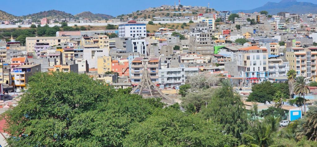
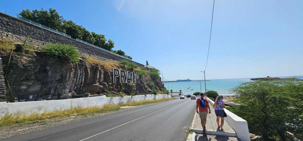
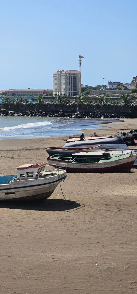
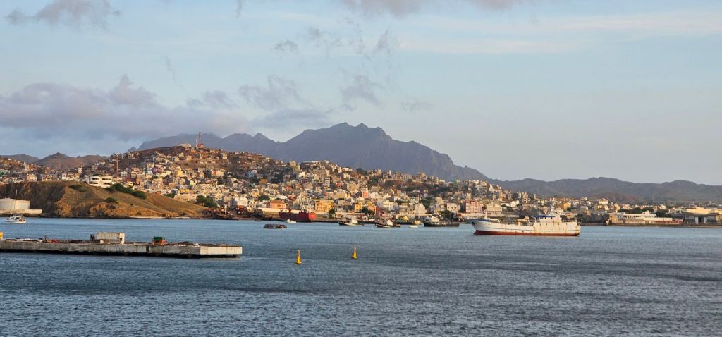
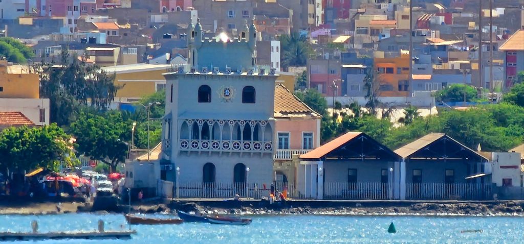
This is our route, and today, we stopped at the capital of Cape Verde, Praia. It is located on the island of Santiago and is the largest of the ten islands that make up this area.
Cape Verde is also the most western country in Africa, not Senegal.
We pulled into port this morning with dolphins dancing in the water behind us. They were small and seemed to know when I had my phone out because they never showed themselves then.

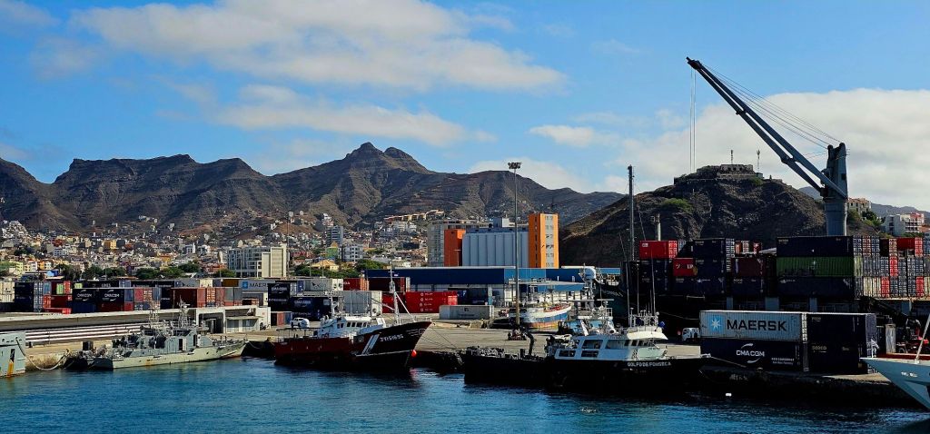
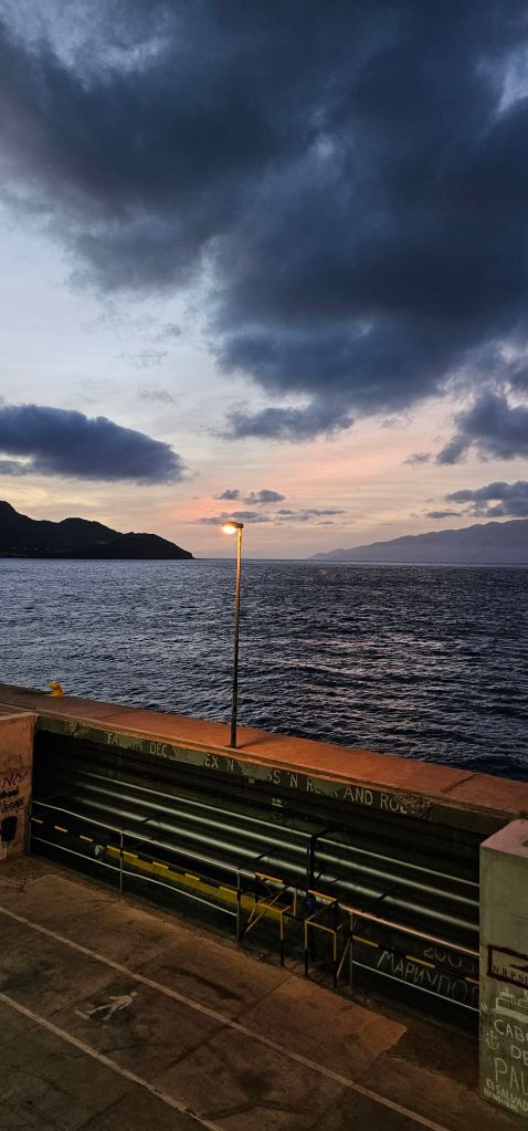
The port itself is the most interesting one we’ve been to because although we have been to several that were not actual cruise terminals, this is the first one where walking from the berth to the port gate we had to watch out for forklifts, moving trailers and unloading vessels.

Walking to the city center was quite a distance in the heat even at 8:30 am. as there was no shade. Smarter people took taxis for 3 euros to the center of the city.
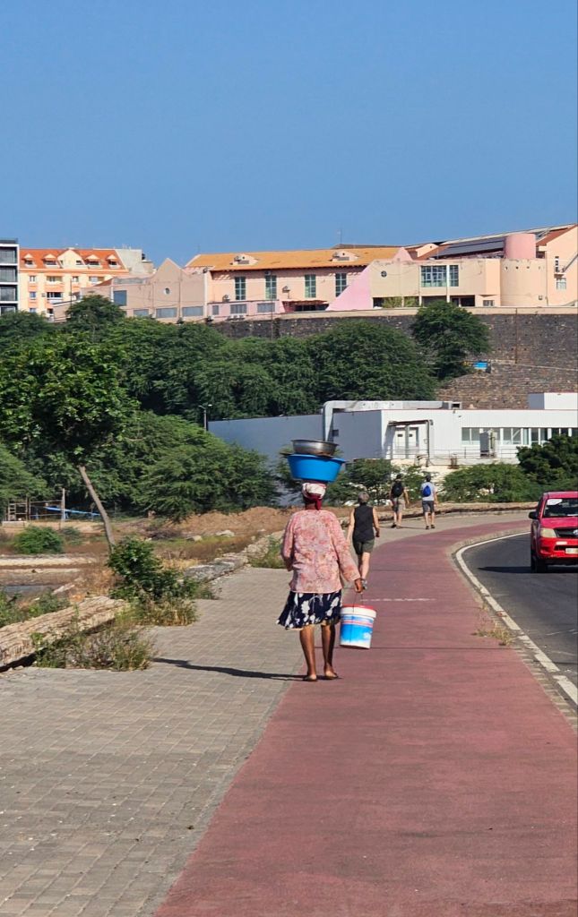
The center is on a plateau, so everyone had to go up. Sadly, there really aren’t maps, and navigation was absent. The walk along the pier and coast was pretty, but when we got close to the marsh area, the smell of sewage was strong and unpleasant. Birders would be happy with the sight of several birds in the area.

By watching locals, my group discovered a shortcut down a set of stairs with no railing and across the dry ravine to the other side. From there, we climbed a pedestrian overpass to get up to the city center.
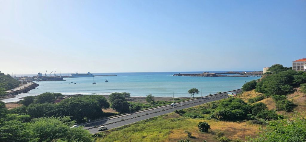
From the road, we could get glimpses of the Odyssey, and she didn’t look far.
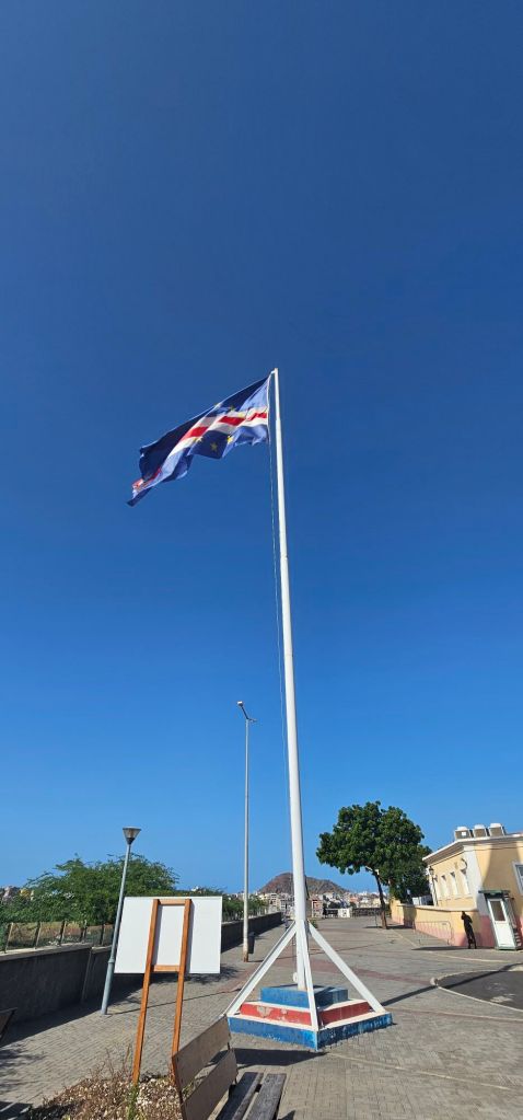
The top of the plateau is only a few blocks in either direction, so it was easy to walk up and down each street to see everything.
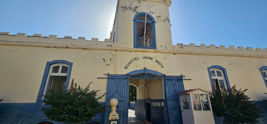
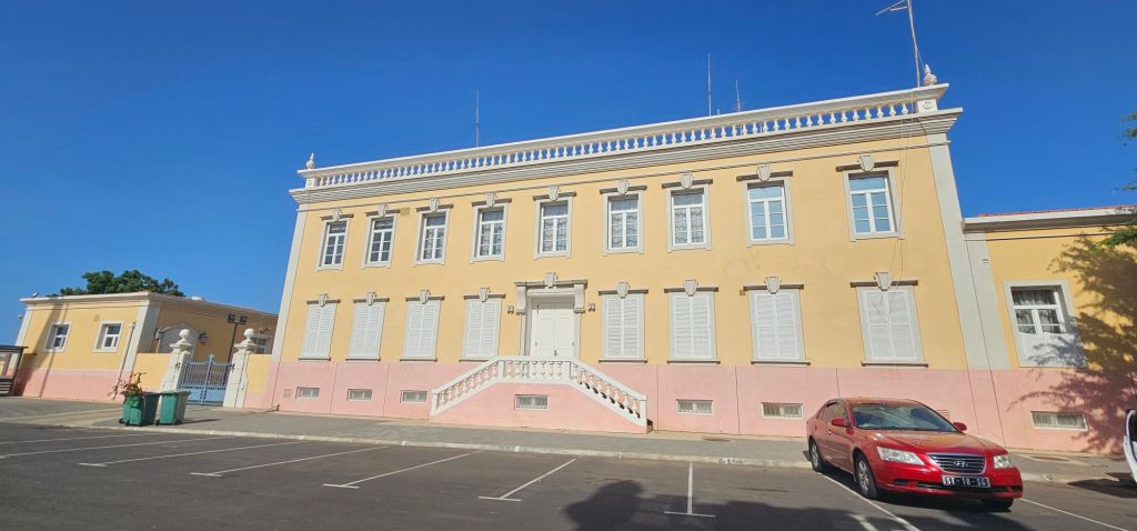
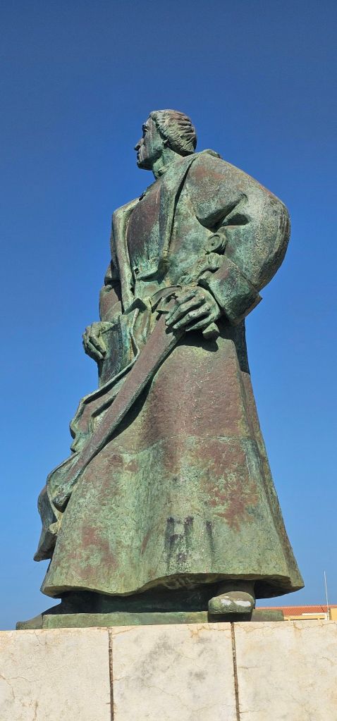
This is also where the remains of the fort walls used to safeguard from pirates are. Now, the presidential palace and ministries are located.
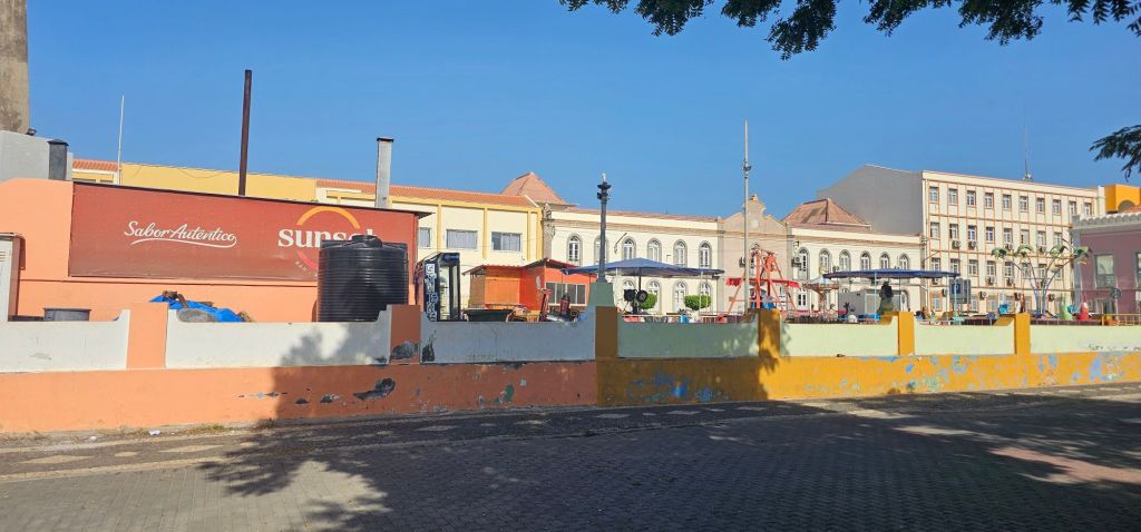
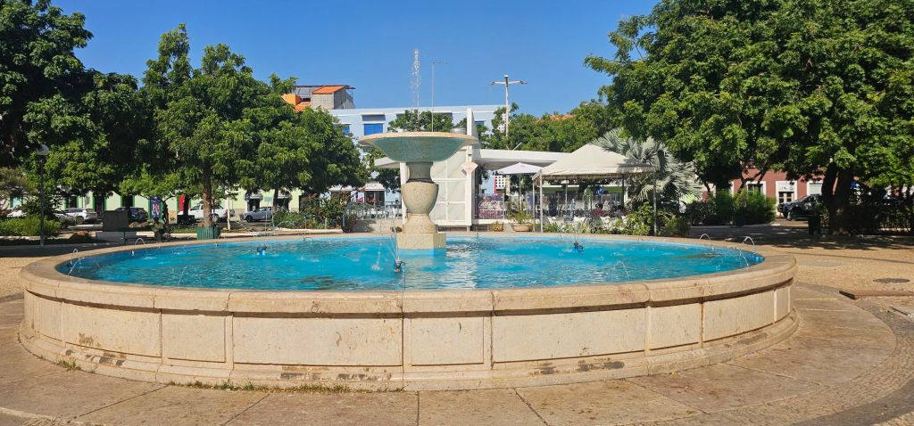
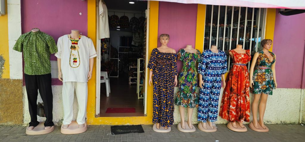
In the center is a park area with public toilets, a fountain, a gazebo, and a tourist information booth. Most of the street is lined with shops and ATMs, with many people waiting to withdraw money. There was a produce market along one road as well.
The local currency is ECV (Escudo de Cabo Verde), but they will take euros at a rate of 100 ECV to 1 euro.

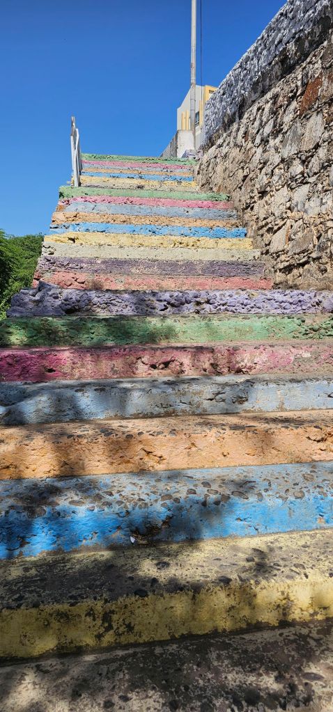
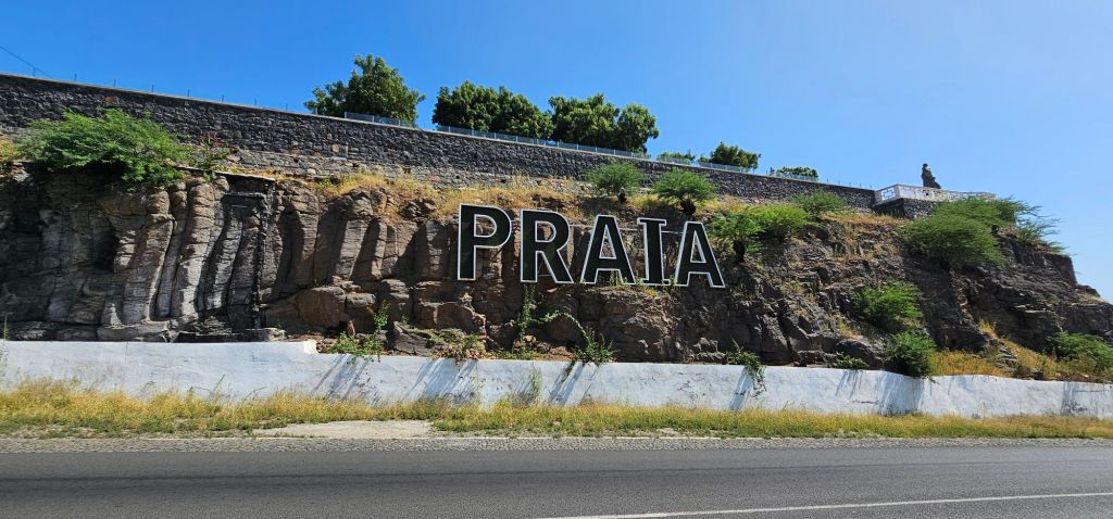
We descended a different road and discovered the Praia sign and a set of colorful stairs leading to the beach and promenade.
After a couple of hours of walking around, we returned to the ship. As hot and sweaty as I was, I wished I had brought my hat as there was no shade.
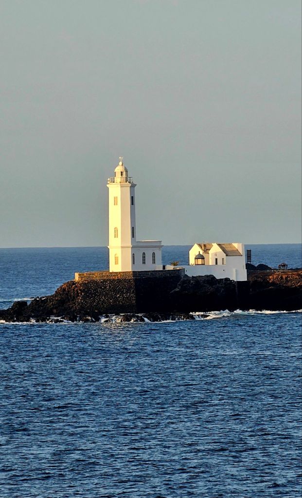
On the walk back we stopped to take some pictures of the lighthouse and coastal buildings.
It was a relief to get back to the Odyssey and cool down. I have to confess I was way too hot and heat stroke is a thing.
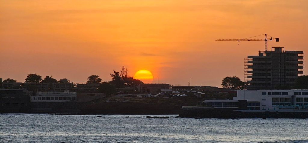
That night, we had a delightful dinner out on the deck as we left the island, and the sun went down.
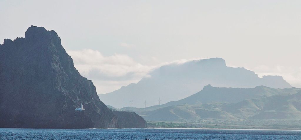
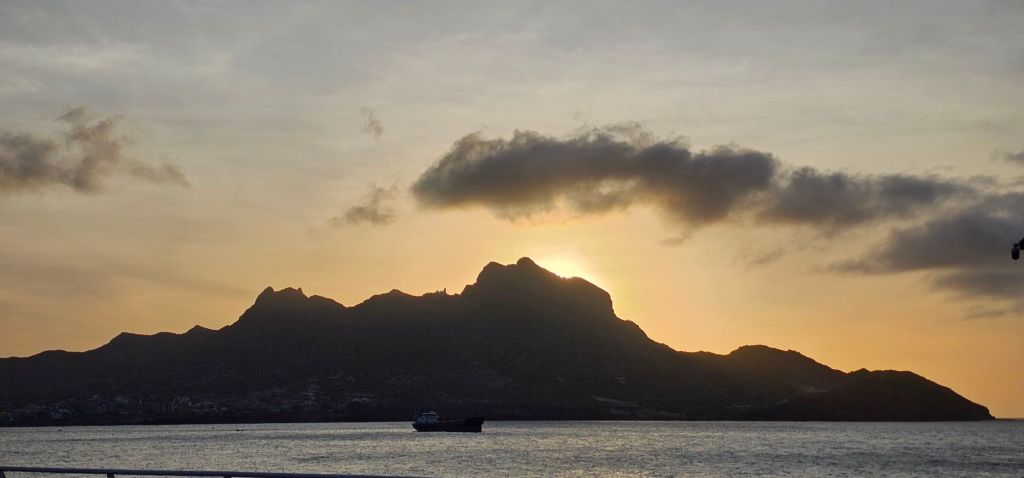
Our sailing time to the next island took longer than I thought it would with us arriving at 10 in the morning. When I look at the map, they seem pretty close, but my experience sailing a cruise ship is non-existent, so I’m sure there were obstacles I don’t know about. Also, we went north from the south end of Santiago Island to the north end of Sao Vincente, increasing the distance.
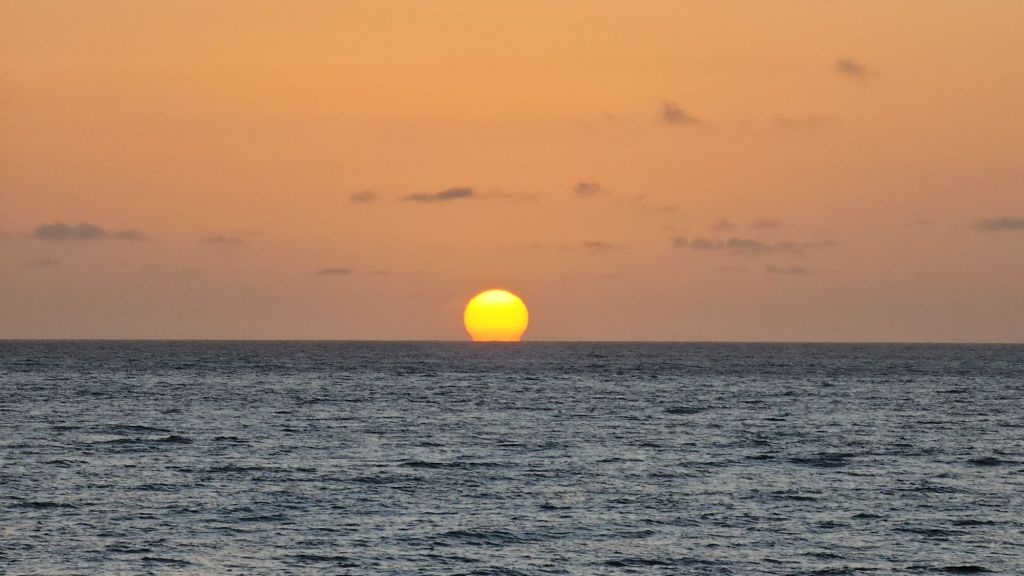
With the later start, I did contemplate staying in bed longer, but now it is a challenge to see the sunrise. I wasn’t feeling that great between cramps and over-heating from the day before, but I got up and watched the day begin anyway.
I also saw us reach the south end of Sao VIncente and travel up its left side to Mindelo.
After some breakfast, I discovered that it would be a good idea to stay close to a toilet today as my digestive system was in full revolt. I will not forget my hat again.
Throughout the morning, I walked around the ship’s promenade a few times to watch the small but busy city.

By lunch, everything was back to normal with my body, and I was able to eat some food. That evening, the ship invited a dance troupe to our ship to give a performance of their carnival dancing.
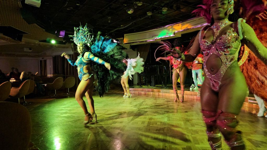
Apparently, Mindelo celebrates carnival in a big way. The party begins for them in January with pre-carnival activities and continues for the carnival in February. The dance troupe company that came out has been in business for 40 years. The costumes were amazing.
After the lively show, we had dinner in the Thistle lounge and began our voyage across the ocean. The ship will take 7 days to get to Barbados, our next port of call.

Leave a comment